GIS & Data Management Services
Geographic Information System (GIS) technology provides a great tool to geographically manage almost any type of data. We are experienced in GIS and database systems utilizing ArcGIS® and Microsoft Access database. On-Site has provided GIS and data management services on projects including landfills, superfund sites, industrial facilities and municipal asset management. A representative list of our GIS and data management experience is presented on the right.
- Design and maintain project specific GIS integrated with a comprehensive database to manage spatial data.
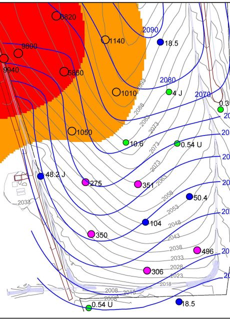
- Interpret spatial relationship in data to uncover and analyze trends.
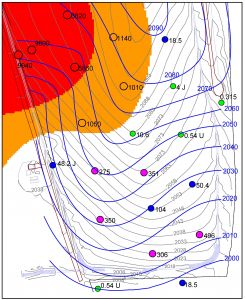
- Create maps to present, query, summarize, and geographically organize data.
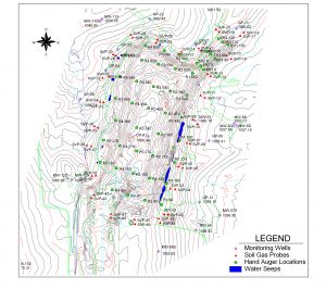
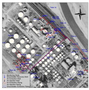
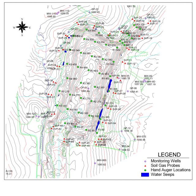
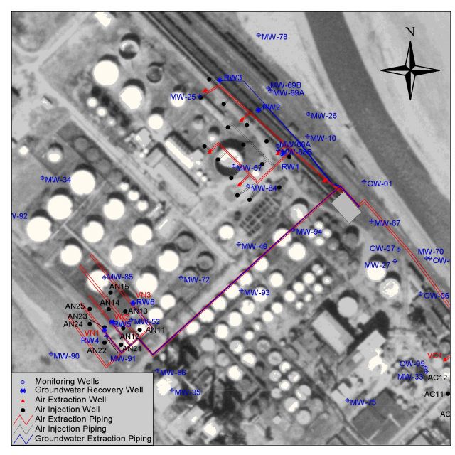
- Create maps to display investigation programs, current or past site features, or planned remediation programs.
- Integrate GPS, survey data, and CAD drawings with GIS.
- Georeference and evaluate historic and recent aerial photography.
- Map underground or above ground utilities.
- Store historic data in GIS and databases for efficient data management.
